Never traveled to the bustling area of Moab over Memorial day weekend and I probably won't do it again either. The friends were great (they saved us a spot) the weather was awesome (sun, clouds, a little rain) and the trails (Gemini Bridges, Gold Bar Rim, Poison Spider) were grippy and uncrowded, but the crowds..............................WOW......................and traffic........................ (I'll show you later).
It wouldn't be Moab without a shelf road to somewhere beautiful. This was our morning commute to the Gemini Bridges, Gold Bar Rim loop and it never disappoints. We are headed up to the cliff line, upper right hand corner just below the clouds.
If you look just above my wifes head you can see the ridgeline where we started in the previous photo.
Yes, that's a pretty big drop over the edge and you can see all the way to Green River 30 miles north.
It is hard to get the feeling with just one view so here is a look back from a pretty safe spot.
This is looking towards the Colorado river, the La Sal mountains (fresh snow) and the edge of Moab.
That is a fracture in the rock and the yellow paint spots mark the Gold Bar rim to Portal trail mountain bike segment.
This new play area was off the Poison Spider named "where eagles dare", all slick rock.
Another one I would not want to pedal.
My wife working on her 1/4 pipe skills.
Found this ole-brown swimmin hole at the end of Poison Spider.
Same hole-different angle: It wouldn't be complete if I was'nt in one photo.
Thanks to our new dirtbike friend Lou for getting the camp spot mid-week so we could all spread our dirt bikes over the desert floor. Yes, I see at least 13 tents here.
That's my wife wrenching on her rear tire (foam insert) only to end up stuffing an old t-shirt in the space to fill the void. It's a tech-thing.
Monday was our easier ride/travel day so we opted for the Sovereign trails and once again.......uncrowded.
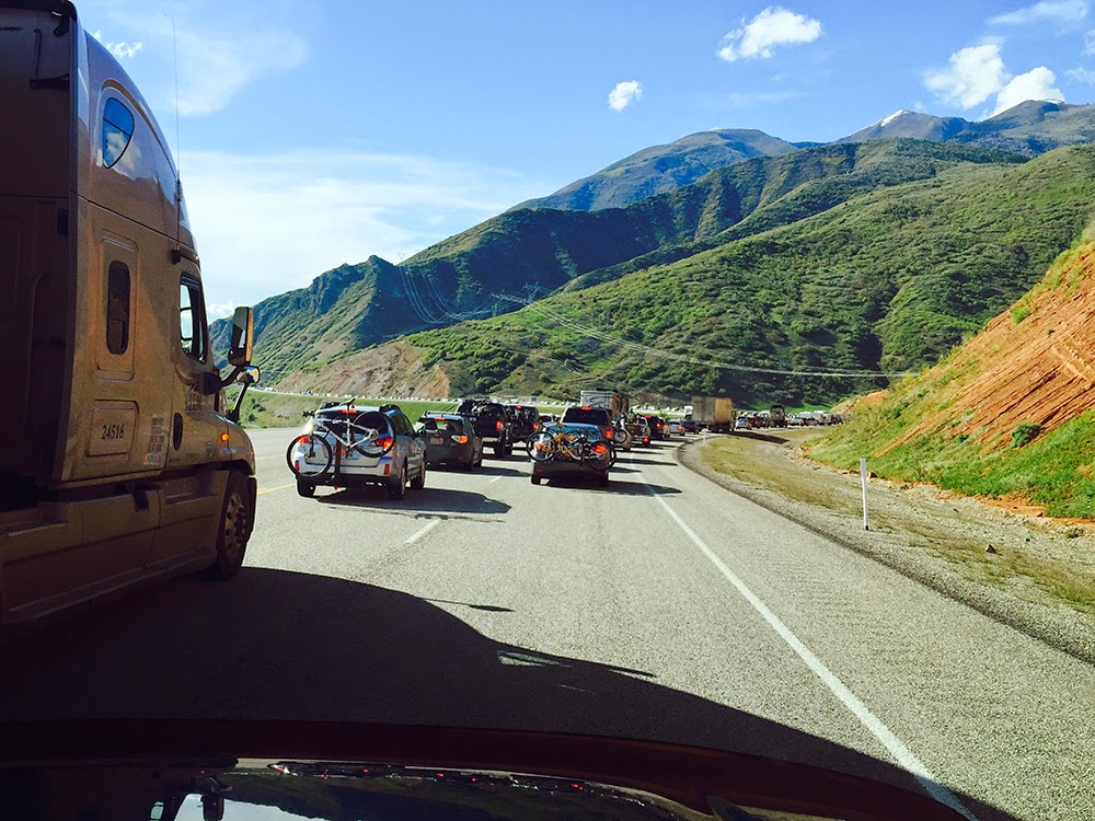
The traffic from the pass at Soldier summit really hit us 8 miles from the mouth of Spanish fork where this photo was taken at an average speed of 3 MPH.
We couldn't bear the violation of our carbon footprint so we made a rest area on a side road.
Then suddenly we decided to explore the rest of the road to Diamond campground, up and over Hobble creek into Springville.
This is the Red Ledges day use area, a highly recommended stop and how about the Snoopy cloud! We also found a new way back to Salt Lake, should we ever need to avoid another Holiday weekend traffic jam.


No comments:
Post a Comment